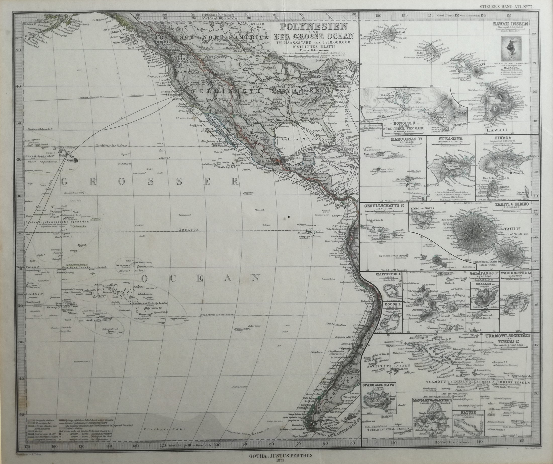
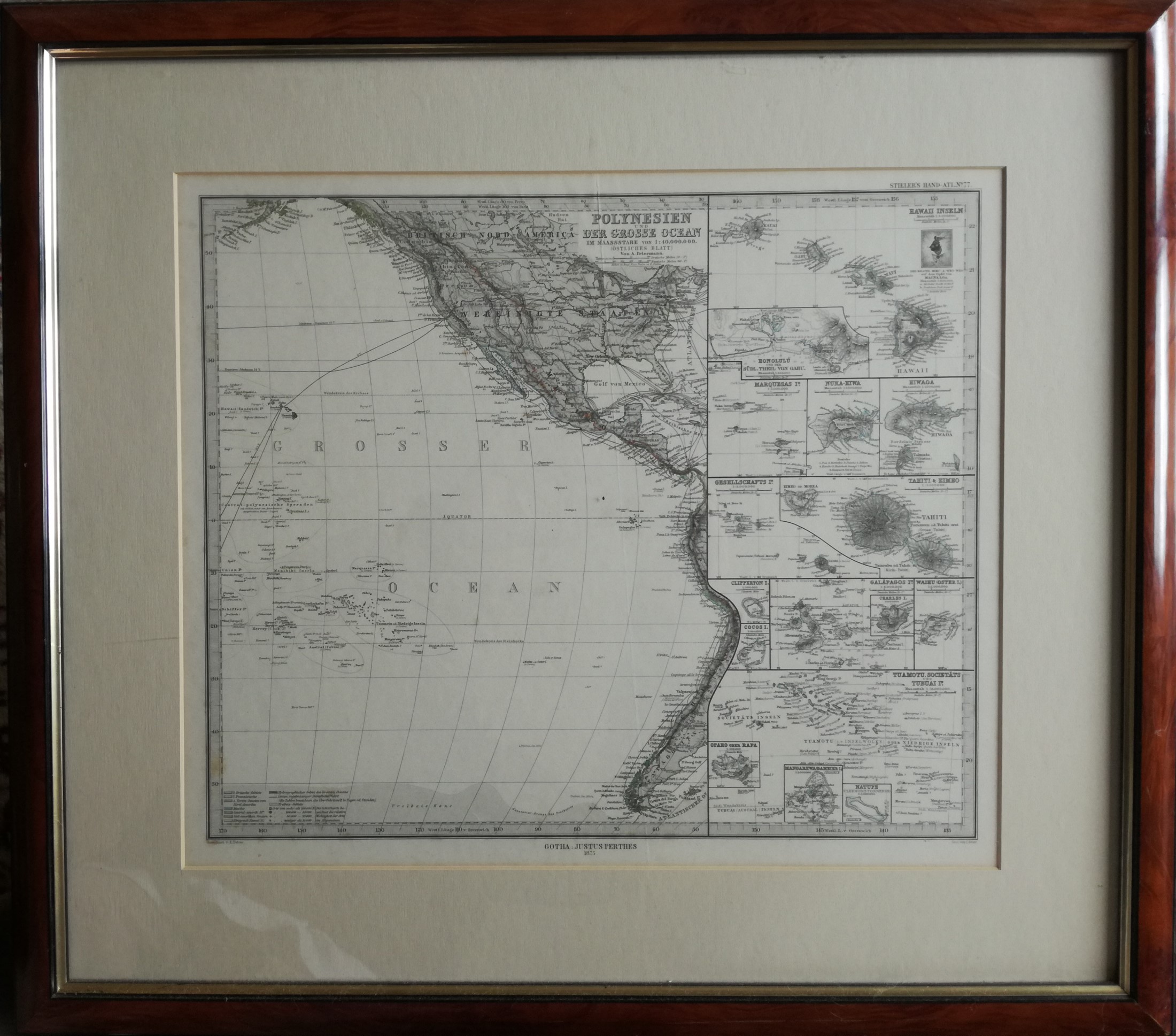
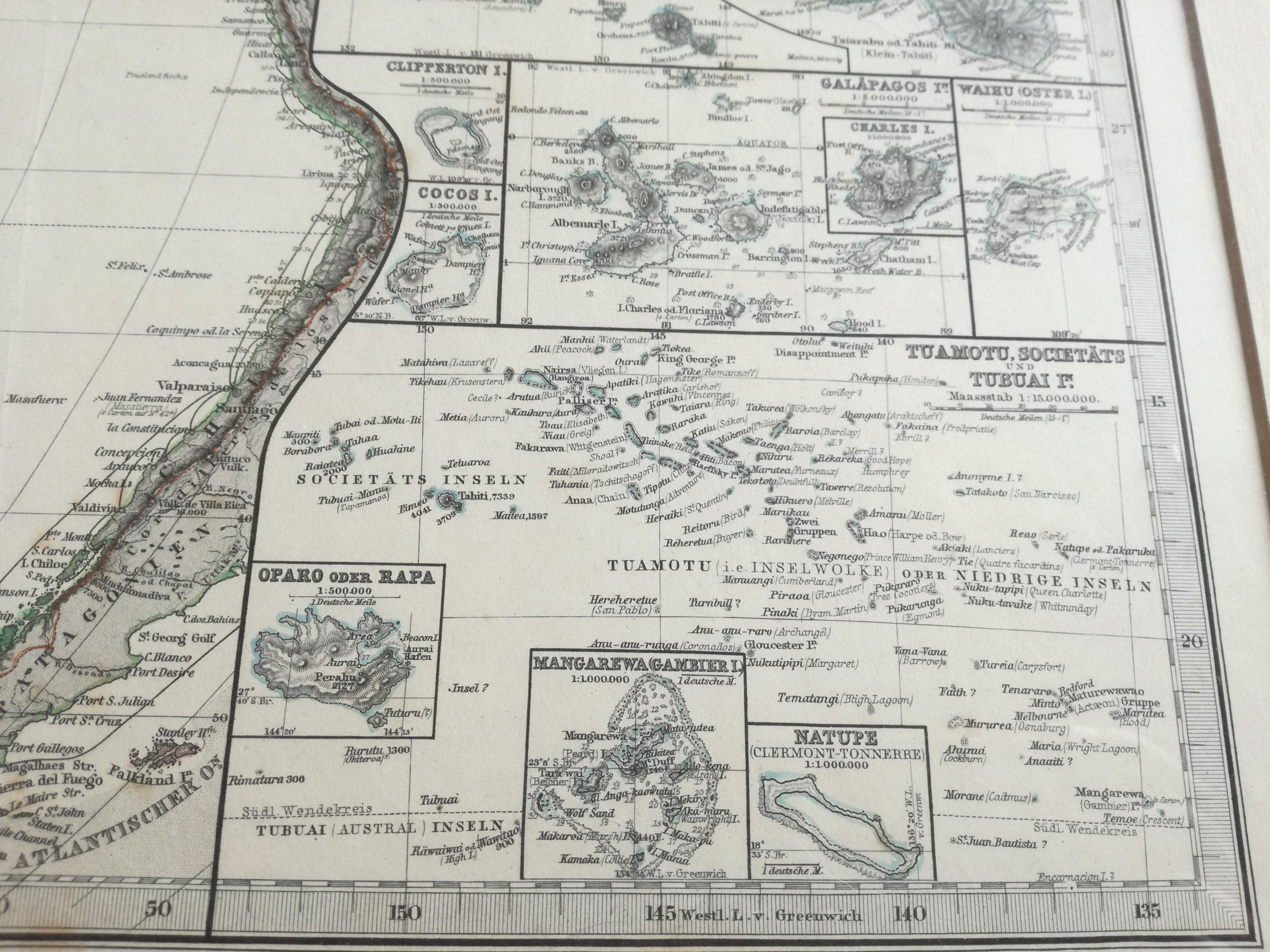
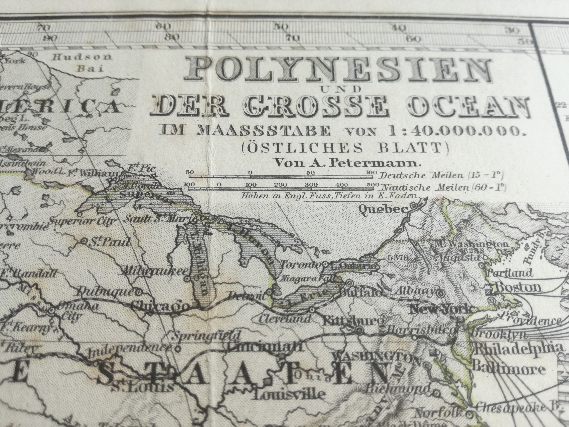
Antique Map of "Polynesien und Der Grosse Ocean". From "Stieler's Hand-Atlas" 1875
Artist
Made by C. Stier after E. Debes.
Title
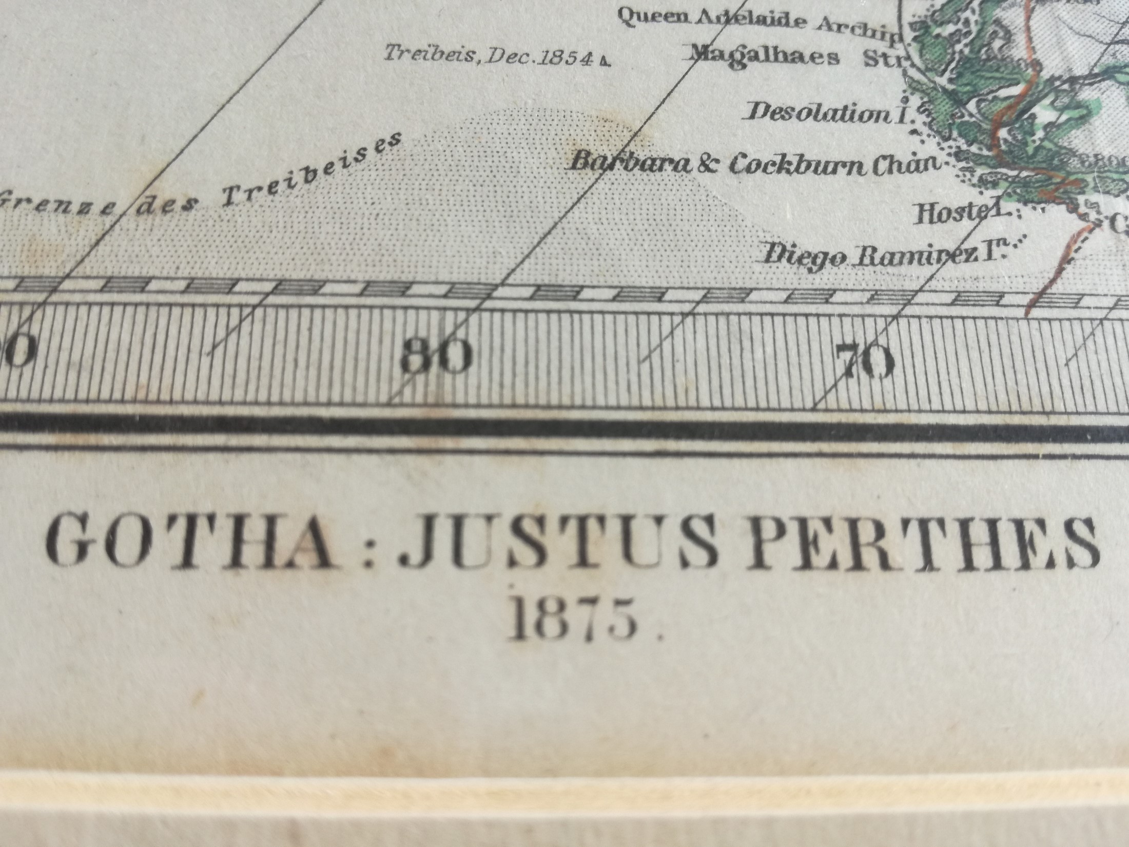
Antique Map of “Polynesien und Der Grosse Ocean” from “Stieler’s Hand-Atlas” 1875
Date
1875
Size
Size Image 40,5 x 34 cm. Size Frame 62 x 55 cm
Medium
Antique Engravings on paper.
Conditions
Very Good, not visioned out frame
Details
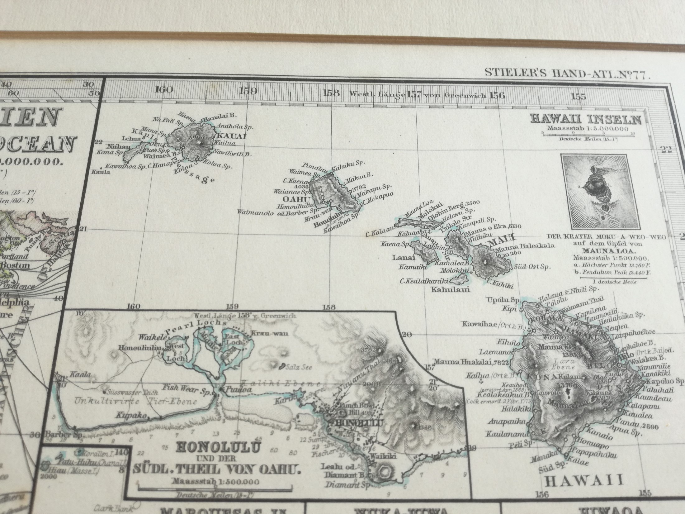
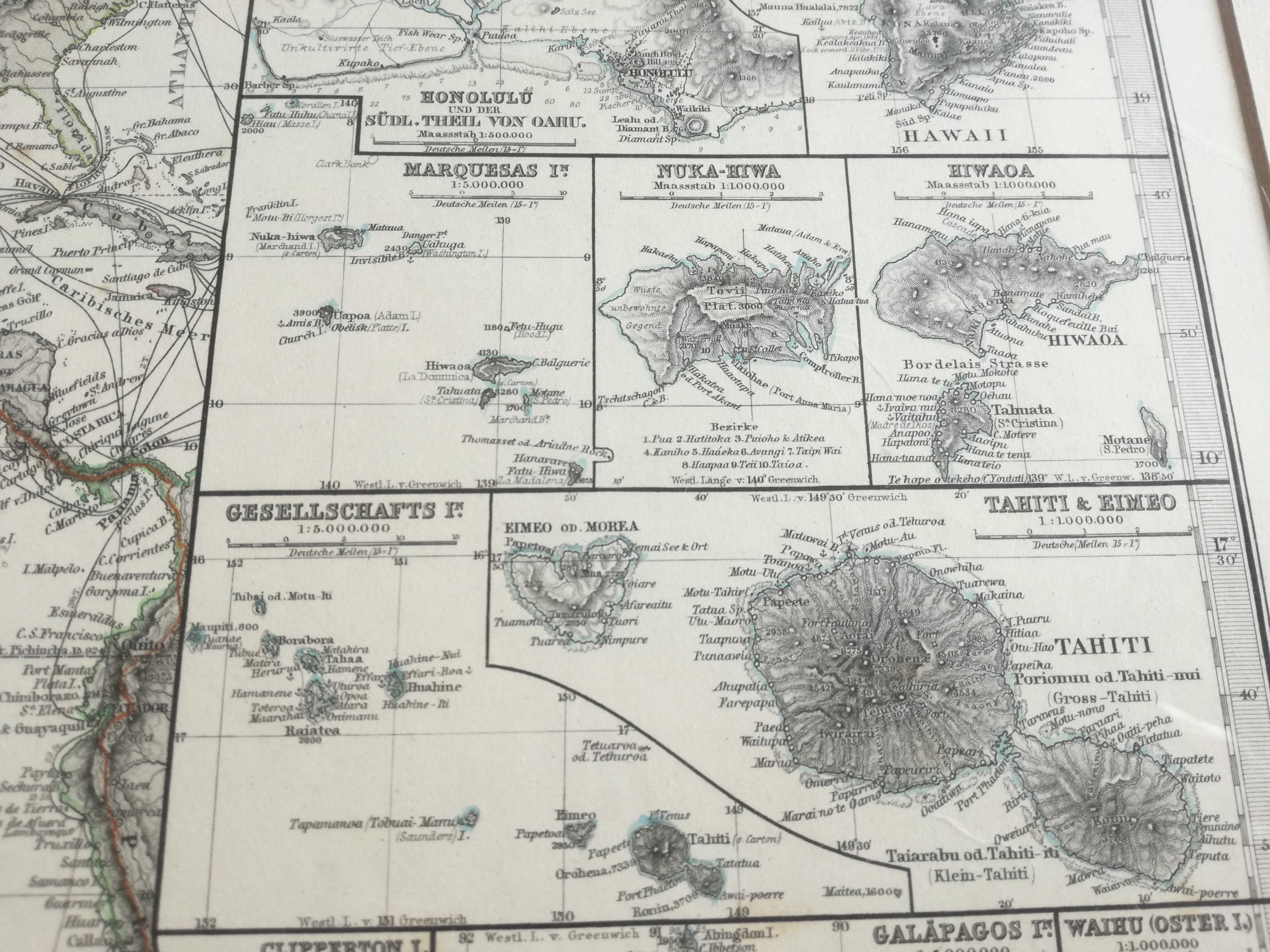
Map of the eastern part of the Pacific, showing the Americas on the right. Several of the island groups and atolls are detailed in the right edge: Hawaii, Honolulu, Marquesas, Tahiti, Galapagos, Company Islands, Society Islands, etc. Sheet 77 from “Stieler’s Hand-Atlas”, Gotha: Justus Perthes, 1875. The photographs can show some reflections caused by glass. The print is contained in a beautiful wood frame ready to be hung.
$105.00 Original price was: $105.00.$85.00Current price is: $85.00.
1 in stock

Shipping: Rates may vary by destination and complexity.
Ships From: Como, Italy

