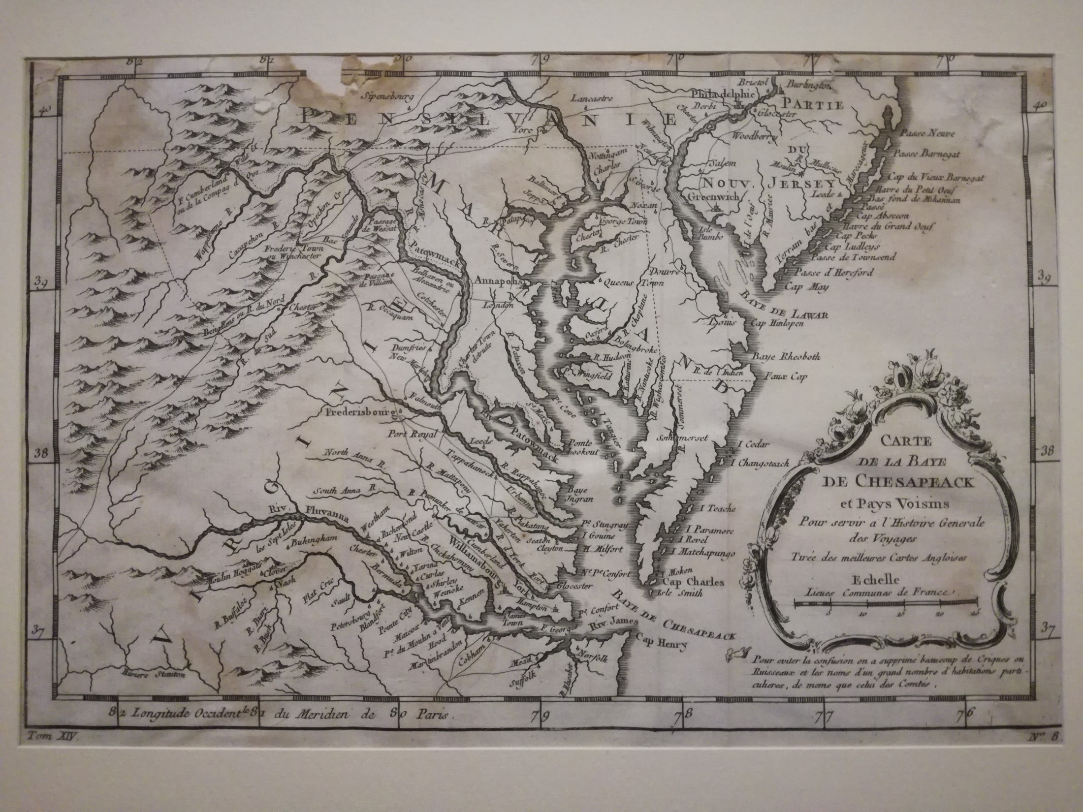
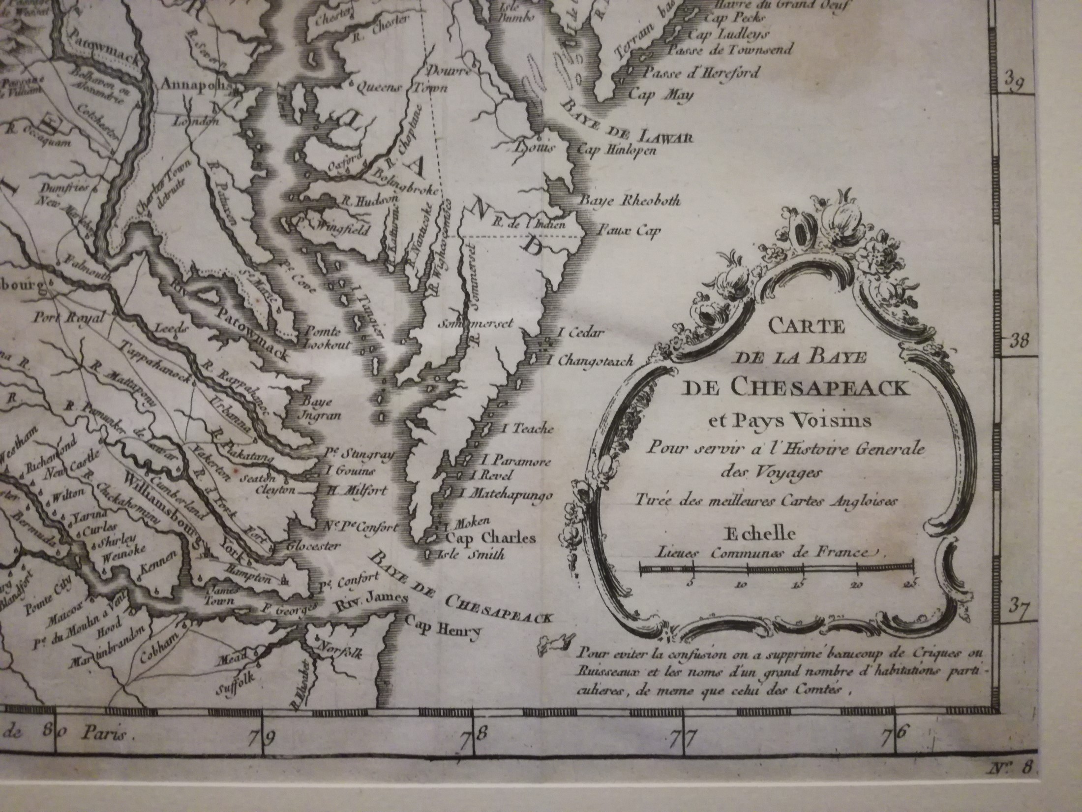
Title
Antique Map Virginia, Chesapeake Bay, Maryland & parts NJ & PA – 1756 J. N. Bellin
Date
1756
Size
Plate size: – 13in x 8 1/2in (330mm x 210mm)
Medium
Antique Engravings on paper.
Conditions
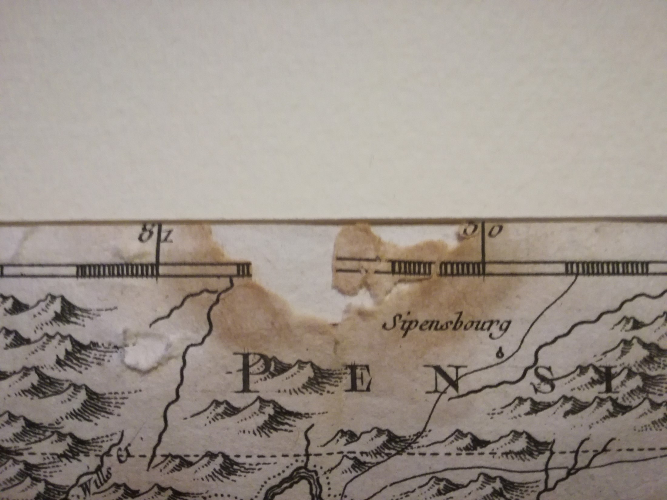
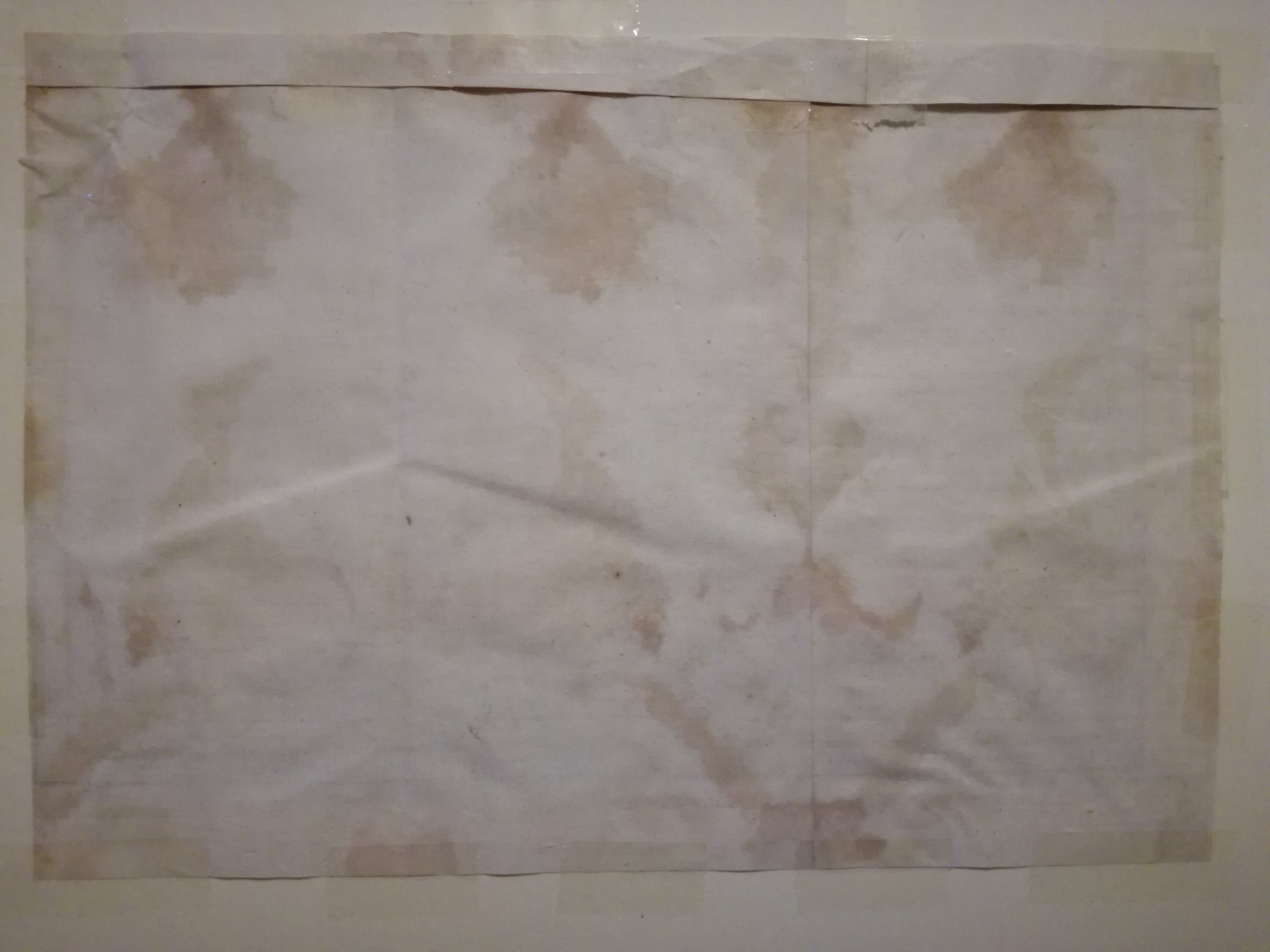
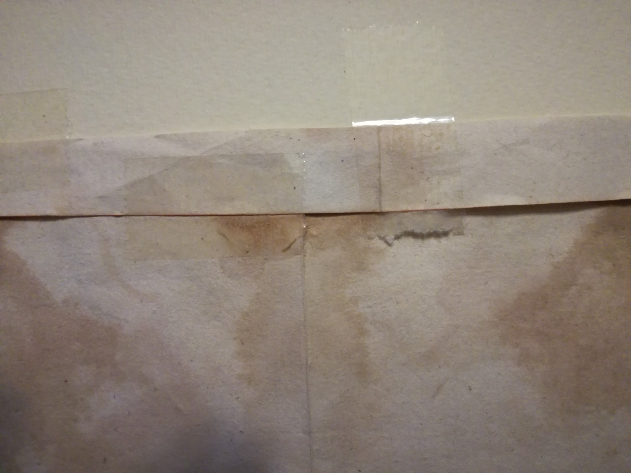
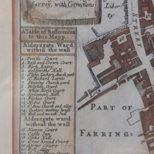
A tear and abrasion on the upper margin (see photo). Presence of adhesive on the back.
Details
This original copper plate engraved antique map of Virginia, Chesapeake Bay, Maryland & parts of New Jersey & Pennsylvania – by Jacques Nicholas Bellin in 1757 – was published in the French edition of Antoine-François Prevosts 20 volume L Histoire Generale des Voyages published by Pierre de Hondt in the Hague between 1747 & 1785.